DRONE SURVEYS:
ELEVATED ACCURACY, ENHANCED EFFICIENCY
Drone surveys are transforming the way we capture, analyze, and visualize spatial data across construction, engineering, mining, and infrastructure projects. At ProAfrica Mapping, we specialize in high-precision drone surveys that provide a comprehensive aerial view of your project site, enabling fast, safe, and cost-effective data collection. Equipped with advanced drones and high-resolution cameras, our team captures detailed imagery and geospatial data that can be processed into orthophotos, 3D models, digital surface models (DSM), and digital terrain models (DTM). This allows stakeholders to make informed decisions based on real-time, measurable insights—whether you are conducting volumetric analysis, topographic mapping, progress monitoring, or site planning. Our drone solutions eliminate many of the risks, costs, and time constraints associated with traditional ground surveys, all while delivering superior accuracy and scope.
What sets our drone survey services apart is our commitment to precision, compliance, and client collaboration. All drone operations are carried out by licensed and experienced drone pilots who follow strict aviation and safety regulations. We also integrate GPS, GNSS, and ground control point (GCP) technologies to ensure that the collected data is survey-grade and highly reliable. Post-processing is handled by our skilled analysts who transform raw data into professional deliverables tailored to your project’s objectives—be it for engineering design, construction validation, or stakeholder reporting. Whether you’re overseeing a remote infrastructure project or monitoring site development in real time, our drone surveys offer a clear, actionable perspective from above.

Topographical & DTM Surveys
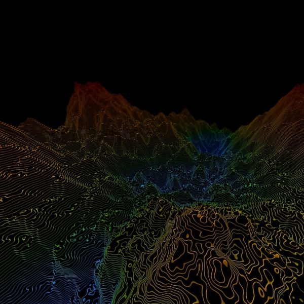
Topographical and Digital Terrain Model (DTM) surveys form the backbone of informed planning and development decisions. These surveys accurately capture the natural and man-made features of the land, providing detailed elevation data and surface contours essential for architectural design, infrastructure planning, and earthworks. Our experienced team uses advanced equipment and software to create precise 2D and 3D representations of the terrain, ensuring a comprehensive understanding of site conditions. Whether for land development, construction, or engineering projects, our topographical and DTM surveys deliver critical insights that help reduce design risks and optimize project outcomes.
Photogrammetry & LIDAR Surveys
Photogrammetry and LiDAR surveys are advanced spatial data collection methods used to create accurate 3D models and maps of the terrain, structures, and infrastructure. Photogrammetry involves capturing high-resolution images from drones or aircraft and processing them to produce detailed georeferenced maps, while LiDAR (Light Detection and Ranging) uses laser pulses to generate precise elevation data, even penetrating through vegetation. Together, these technologies enable rapid, large-scale data acquisition with exceptional accuracy—ideal for topographical mapping, engineering design, flood modeling, vegetation analysis, and more. These surveys significantly reduce field time and increase safety and efficiency on complex projects.


Stockpile Surveys
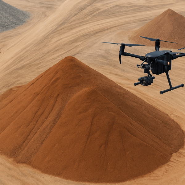
Stockpile surveys provide a fast, accurate, and safe method for measuring and monitoring the volume of stockpiled materials such as sand, gravel, coal, and other bulk commodities. By utilizing drones equipped with high-resolution cameras and advanced photogrammetry or LiDAR technologies, these surveys produce precise 3D models and volumetric data. This enables efficient inventory management, improves decision-making, and reduces the need for manual labor in hazardous areas. Drone-based surveys also allow for regular tracking of material usage and replenishment with minimal disruption to operations, making them a cost-effective solution for construction, mining, and industrial sites.
Structural & Progress Inspection Surveys
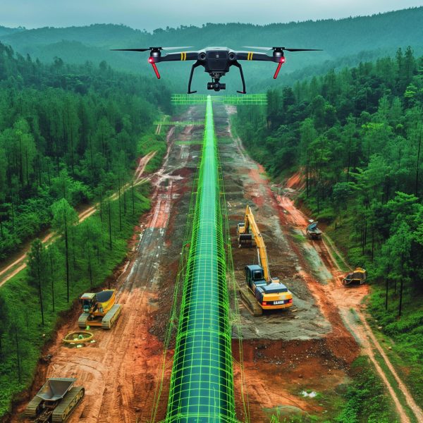
Structural and progress inspection surveys are essential for monitoring the integrity, safety, and advancement of construction projects throughout their lifecycle. These surveys provide detailed assessments of structural components, verifying alignment, dimensions, and construction quality against design specifications. Progress inspections help stakeholders track the pace of work, identify potential delays, and ensure that each stage meets compliance and regulatory standards. Using advanced surveying tools such as drones, laser scanning, and photogrammetry, these inspections deliver accurate and timely data to support project management, quality control, and informed decision-making—ultimately enhancing project efficiency and minimizing costly rework.

WHY CHOOSE US:
High-Resolution, Survey-Grade Results
We deliver ultra-precise geospatial data and imagery that rivals traditional methods—processed into accurate 2D and 3D models for design, analysis, or compliance documentation.
Rapid, Cost-Efficient Data Collection
Drone surveys significantly reduce the time and labor involved in surveying large or hard-to-access areas. This results in faster turnaround times and lower costs, without compromising on detail or quality.
Safe and Non-Disruptive Operations
By removing the need for manual access to hazardous or high-traffic areas, our drone surveys minimize risk to personnel and reduce site disruption—making them ideal for active construction zones and sensitive environments.
