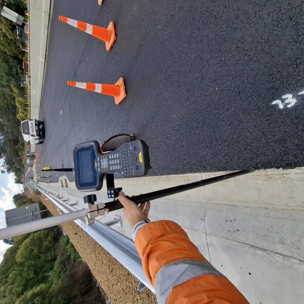
ENGINEERING SURVEYS:
PRECISION, ACCURACY AND INNOVATION IN EVERY PROJECT
Engineering surveys are critical to the success of any construction or infrastructure project. At ProAfrica Mapping, we provide accurate, high-quality surveying solutions that support engineers and project teams from the planning and design stages through to construction and post-completion monitoring. Our expertise, combined with the latest survey technologies, ensures reliable data that improves design precision, reduces risk, and guarantees compliance with engineering standards.
We offer a comprehensive range of services tailored to the needs of the engineering and construction industries — including mechanical and civil works surveys, structural monitoring, aerial inspections, LiDAR-based 3D reality capture, underground utility detection, topographical mapping, and volume measurements. All data is captured and processed by skilled professionals using advanced instruments, ensuring our clients receive actionable insights that align with their project goals.

Mechanical & Civil Works Surveys
Our Mechanical & Civil Works Surveys deliver highly accurate data essential for the planning, installation, and verification of infrastructure elements such as pipelines, structural supports, equipment bases, and civil construction features. By utilising advanced measurement techniques and precision instruments, we ensure all critical components are surveyed to exact specifications, reducing errors, improving coordination between trades, and supporting compliance with engineering standards throughout the project lifecycle.
Setting Out Surveys
Setting Out Surveys are a critical component in the transition from design to construction. This service involves accurately translating architectural and engineering plans onto the physical ground to guide the construction process. Using advanced instruments and precise control points, we establish the exact positions, dimensions, and levels of buildings, roads, utilities, and other infrastructure elements. By ensuring that every feature is built in the correct location, Setting Out Surveys minimize costly errors, support compliance with design specifications, and maintain alignment with project timelines. Our team works closely with engineers and contractors to ensure that construction proceeds with clarity and precision from day one.


As-Built Surveys
As-Built Surveys are essential for verifying that completed construction aligns with the original design specifications. Conducted after or during various stages of a project, this survey captures the precise location, dimensions, and elevations of built elements as they exist on site. These surveys serve as an accurate record of the final layout, identifying any deviations from the design and ensuring compliance with regulatory and client requirements. As-Built data is crucial for future maintenance, renovations, and asset management. At ProAfrica Mapping, we use advanced surveying technology to deliver high-accuracy documentation, giving clients confidence in the integrity and accountability of their completed infrastructure.
Structural Monitoring & Deformation Surveys
Structural Monitoring & Deformation Surveys are vital for assessing the stability and integrity of buildings, bridges, retaining walls, and other critical infrastructure over time. This service involves the precise measurement of structural movements, whether due to natural settlement, nearby construction activity, environmental influences, or material fatigue. Using high-precision instruments such as total stations, GNSS, and remote sensing technologies, we detect and quantify any shifts, tilts, or deformations—no matter how minimal. These surveys provide essential data for engineers, architects, and asset managers to make informed decisions on safety, repairs, and preventative maintenance. ProAfrica Mapping delivers real-time insights and detailed reports that help safeguard public safety and extend the lifespan of structures.

WHY CHOOSE US:
High Precision & Accuracy
We deliver data with industry-leading accuracy using advanced survey instruments and stringent quality control, ensuring your project is built on a foundation of reliable measurements.
Fast Turnaround Times
Our efficient workflows, experienced teams, and use of cutting-edge technology allow us to complete surveys quickly without compromising on quality — helping you stay on schedule and within budget.
Cutting-edge Equipment
We utilize the latest in surveying technology, including UAVs, LiDAR, GPS/GNSS, and ground-penetrating radar, to provide high-resolution data and detailed insights across all terrain and environments.
