3D SCANNING SERVICES:
Accurate Reality Capture for Precise Site Documentation
At ProAfrica Mapping, we specialize in providing cutting-edge 3D scanning services designed to capture high-precision, real-world data that significantly enhances accuracy, saves time, and reduces risk on engineering and construction projects. Our state-of-the-art 3D scanning technology allows us to capture the most intricate details of structures and parts, enabling a comprehensive understanding of the physical environment. Whether you require scans for as-built documentation, reverse engineering, deformation analysis, or clash detection, we offer reliable and actionable results tailored to your specific needs.
Our team of experienced professionals uses advanced scanning equipment to gather precise data in even the most challenging conditions, providing you with accurate models that support effective decision-making. By integrating 3D scanning into your workflow, you can streamline processes, identify potential issues early, and ensure the highest level of precision throughout the project lifecycle. At ProAfrica Mapping, we are committed to delivering results that empower you to complete your engineering and construction projects efficiently, with confidence and minimal risk.
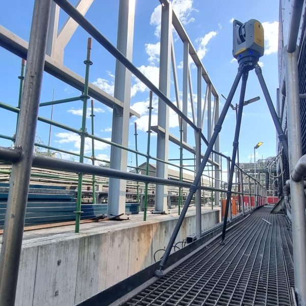
As-Built Surveys / Digital Twin Creation
Our As-Built Survey and Digital Twin services provide precise, real-world representations of existing structures and environments. Using advanced 3D scanning technology, we capture every detail to produce highly accurate as-built documentation and interactive digital models. These models serve as reliable references for design verification, renovation planning, clash detection, and lifecycle management.
Construction Progress Monitoring
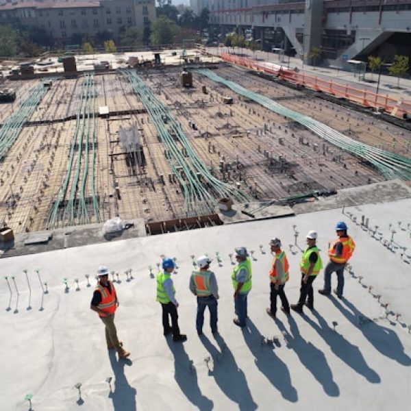
Our Construction Progress Monitoring service uses high-accuracy 3D scanning and imaging technology to document every stage of your project. By capturing regular scans throughout the construction process, we provide objective, measurable, and time-stamped records that reflect actual site conditions in real-time.
BIM Model Generation
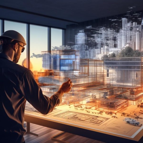
Our BIM (Building Information Modeling) Model Generation service transforms precise 3D scan data into intelligent, data-rich digital models. Using advanced laser scanning and photogrammetry, we capture real-world conditions and convert them into accurate BIM models in formats such as Revit, IFC, or CAD.
Volume Calculations
Our Volume Calculations service provides precise, reliable measurements for stockpiles, earthworks, cut-and-fill operations, and more. Using advanced 3D laser scanning and drone photogrammetry, we generate detailed point clouds and surface models to calculate volumes with a high degree of accuracy.
Structural Deformation & Alignment Checks
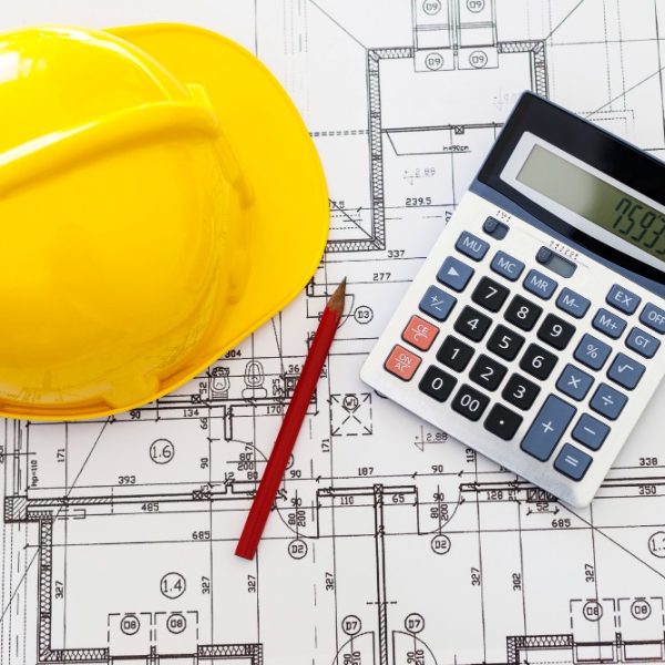
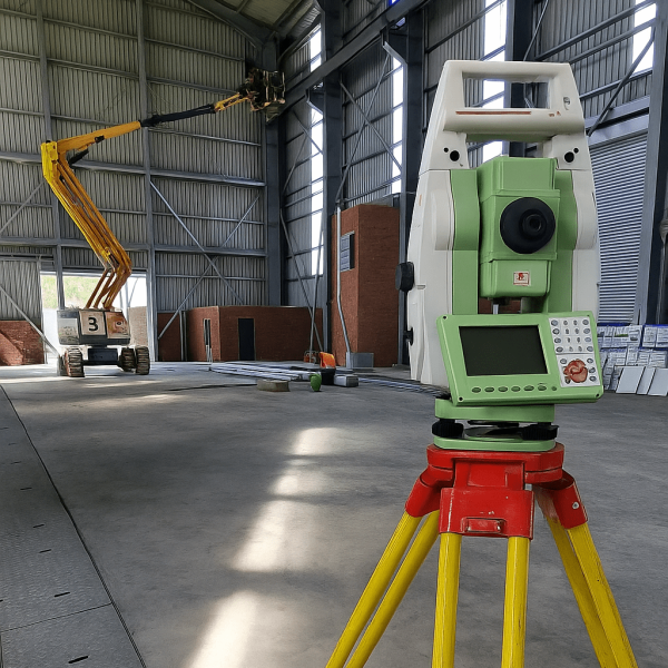
Our Structural Deformation & Alignment Checks service offers precise and dependable analysis of structural movement, displacement, and alignment using high-accuracy 3D laser scanning technology. By capturing detailed point cloud data, we can detect even the slightest deviations from design or baseline conditions, making it possible to identify structural issues early and take corrective action before they escalate. This service is essential for monitoring critical infrastructure such as bridges, industrial installations, high-rise buildings, and large steel structures during and after construction. The results are delivered in clear, visual reports that highlight deformation trends and alignment discrepancies, helping engineers and project managers make informed decisions and ensure structural integrity over time.
Heritage / Historical Preservation
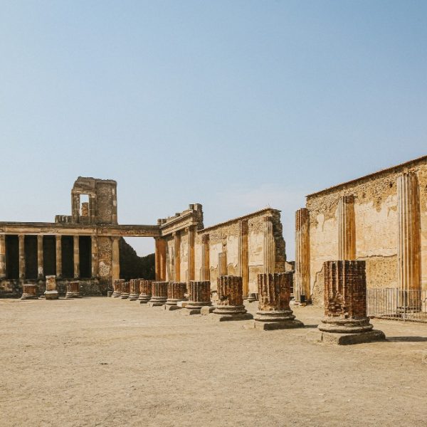
Heritage and historical preservation services focus on the careful and respectful conservation of cultural landmarks, buildings, and sites of historical significance. This service involves thorough research, documentation, and the application of specialized techniques to maintain the integrity of historical structures, ensuring they are protected for future generations. Preservation efforts may include restoring original features, preventing further deterioration, and safeguarding the historical value of sites while meeting modern safety and functionality requirements. These services are essential in maintaining a connection to the past, offering a tangible link to the history and traditions that shape communities.
Facility Management & Maintenance Planning
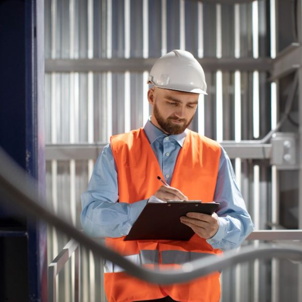
Facility management and maintenance planning services are designed to ensure that buildings and facilities operate efficiently and remain in optimal condition. These services encompass a comprehensive approach to managing the daily operations of a facility, including routine maintenance, inspections, and the planning of long-term maintenance strategies. By assessing the condition of infrastructure, systems, and equipment, facility management ensures that all aspects of the building are functional, safe, and compliant with regulations. The goal is to enhance the lifespan of the property, reduce the risk of costly repairs, and create a comfortable and productive environment for occupants. Through careful planning, these services help organizations prioritize maintenance tasks and allocate resources effectively.
Reverse Engineering
Reverse engineering involves capturing the complex geometries of existing parts or structures to reproduce them accurately. This process uses advanced scanning technology to create detailed digital models of physical objects, which can then be analyzed and used to replicate or improve the original design. Whether for repairs, modifications, or creating compatible parts, 3D scanning enables precise reproduction of complex shapes and structures. This service is invaluable for organizations looking to recreate or enhance parts that are no longer in production or lack available documentation, ensuring both accuracy and functionality in the final output.
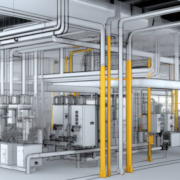
Scan to BIM (Building Information Modeling)
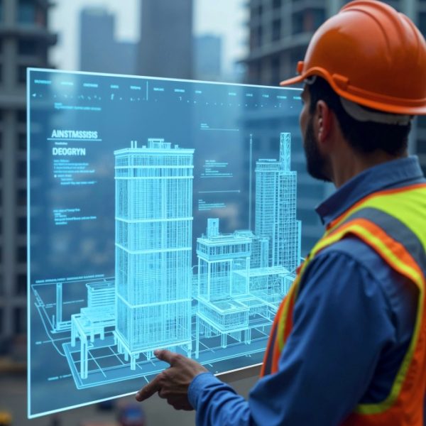
Scan to BIM (Building Information Modeling) is a cutting-edge surveying service that transforms real-world structures into accurate digital models. Using high-resolution 3D laser scanning (LiDAR), ProAfrica Mapping captures precise spatial data of buildings, infrastructure, or sites and converts it into intelligent BIM models compatible with platforms like Revit and AutoCAD. This process is invaluable for renovations, facility management, clash detection, and construction planning, as it offers a true-to-life digital twin of the existing conditions. Our expert team ensures that every dimension, surface, and feature is modeled with precision, enabling architects, engineers, and project managers to work more efficiently and reduce costly errors. By integrating reality capture with advanced BIM workflows, we deliver data-rich models that support smarter decision-making throughout the project lifecycle.
WHY CHOOSE US:
Accurate & Repeatable Data
Our high-resolution scanners deliver sub-millimeter accuracy, ensuring confidence in every measurement.
Non-Intrusive & Safe
3D scanning allows us to capture hard-to-reach or hazardous areas from a distance, minimizing disruption to your site.
Comprehensive Reports & Visuals
We provide clear, professional outputs including point clouds, 3D models, inspection reports, and more – tailored to your needs.
