OUR SERVICES:
Ground to Sky and Everything In Between
From aerial drone inspections to underground utility mapping, we offer a full suite of advanced surveying services tailored to your project’s scope and complexity. Our capabilities include mechanical and civil works surveys, structural monitoring, reality capture, GPR surveys, and more. At every step, we ensure compliance, safety, and clear reporting—so your team can move forward with clarity and confidence.
OUR SERVICES:
We are more than surveyors, we are trusted partners in precision.
What sets us apart is our commitment to accuracy, responsiveness, and innovation. Backed by cutting-edge equipment and an experienced, interdisciplinary team, we work closely with engineers, developers, and consultants to deliver data that drives smarter outcomes. When you partner with ProAfrica Mapping, you get more than a survey—you gain a strategic advantage.
Engineering Surveys
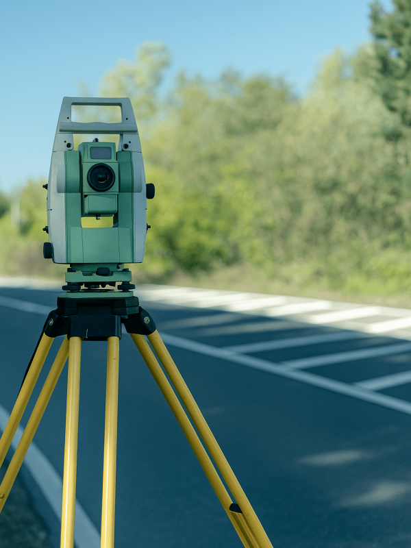
Our Engineering Surveys provide precise, detailed measurements and data essential for planning, design, and construction across civil, structural, and infrastructure projects. With advanced equipment and expert knowledge, we ensure accuracy and reliability.
Topographical Surveys
Topographical Surveys offer an accurate representation of the natural and built features of a site, including contours, elevations, trees, buildings, and utilities. This data is crucial for informed design, planning, and construction, ensuring projects are grounded in real-world terrain conditions.
GPR Surveys
Ground Penetrating Radar (GPR) Surveys provide a non-invasive method to detect and map subsurface structures, utilities, and anomalies. Ideal for construction, engineering, and environmental projects, GPR offers fast, accurate insights without the need for excavation or disruption.
Drone Surveys
Drone Surveys deliver high-resolution aerial data quickly and safely, capturing detailed site information for mapping, inspections, and monitoring. This technology enhances project efficiency, reduces risk, and provides accurate visual insights from above.
3D Scanning Services
Our 3D scanning services deliver accurate digital models of structures and environments, using advanced laser scanning technology. Perfect for engineering surveys, these scans provide precise data for construction, planning, and design with minimal disruption.
OUR FOUNDATION:
Mission
At ProAfrica Mapping, our mission is to deliver precise, innovative, and reliable geospatial surveying solutions that empower engineering and infrastructure development across Africa. We are committed to accuracy, integrity, and excellence in every project we undertake.
Vision
Our vision is to become the leading provider of engineering and geospatial surveying services in Africa, shaping the future of sustainable infrastructure through advanced technology, trusted partnerships, and a dedication to progress.
Core Values
We are driven by a passion for precision, a commitment to professionalism, and a focus on continuous innovation. Integrity, collaboration, and client satisfaction are at the heart of everything we do, guiding us to exceed expectations in every survey we deliver.
